Backpacking
Arizona
California
Sightseeing & Day Hiking
Arizona
Nevada

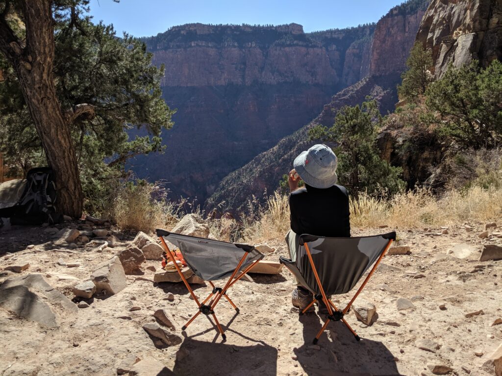
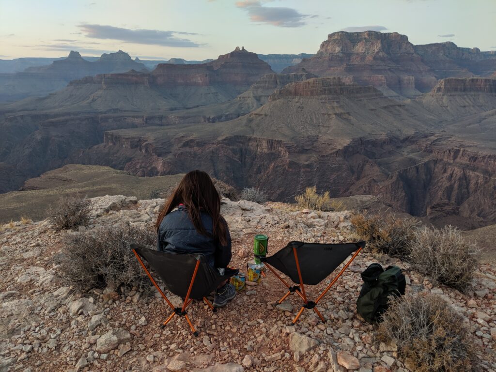
Impressions of the dazzling topography of the Grand Canyon have changed and shifted since that day in the summer of 1540 when Garcia Lopez de Cardenas gazed out from the South Rim. The conquistador saw a worthless desert wasteland, nothing more than a barrier to political expansion.
At the opposite extreme, the modern view tends toward the romantic, reveling in what we today perceive as the remarkable spirituality of the gorge.
Products of the age in which they lived, American pioneers arriving in the 1890s were more practical and utilitarian: they assumed with so much exposed bedrock inevitably there had to be mineral riches waiting to be claimed by those willing to go below and look. Would-be miners fanned out across the inner canyon, probing everywhere, and at a place called Horseshoe Mesa found what they sought. Rich copper deposits initially average 30% pure promised wealth, but only if transported from the depths. Optimism reigned supreme, a route was scratched out, and in February 1893 an endless succession of mule trains began moving raw ore to the rim along a rough canyon track originally known as the Berry Trail, more recently as the Grandview Trail.
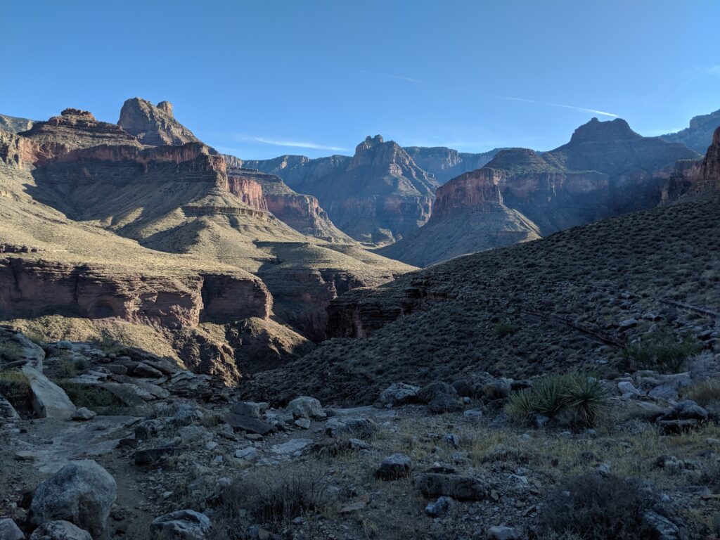
More than any other canyon trail, the Grandview is steeped in the legacy of the mining days at the Grand Canyon. Numerous small artifacts associated with these halcyon days are scattered across the top of Horseshoe Mesa, providing a link across the years. Hikers can inspect the physical remains of this bygone era while enjoying canyon scenery at its finest.
Trail Description:
The original Grandview Trail was created to connect the rim with the copper mines on Horseshoe Mesa. The well-built trail eventually provided access to more tourists than miners, as the Grandview trail provided one of the best access routes into the canyon for its time. The undamaged segments of the pioneer trail in the upper half of the canyon testify to the engineering prowess of the builders as they devised solution after creative solutions to the problems posed by the landscape.
Start off the rim from the established Grandview Point overlook. The Kaibab/Toroweap section traverses steep ground, and the old trail is eroded so attention to the problems at hand is essential. Vertical steps were surmounted by the construction of log "cribs" that were chained or pinned to the cliff face to provide a foundation for the trail where nature provided none. The exposure here impresses some hikers as hazardous. Unfortunately, several of the historic cribs were swept away by landslides during the winter of 2005. Trail crews restored the trail, but not the historical context of the old logs
Original "cobblestone riprap" trail construction shows throughout most of the Coconino. Large slabs of sandstone placed edgewise provided a durable (albeit labor-intensive) walking surface. The trail comes to the top of a dramatic east-facing gully at Coconino/Hermit contact (known locally as Coconino Saddle) that offers tantalizing views into the upper valley of Hance Creek. Steep cobblestone switchbacks below Coconino Saddle dispense with most of the Supai Formation before the walking moderates and the trail begins a gradually descending traverse across the slope to Horseshoe Mesa.
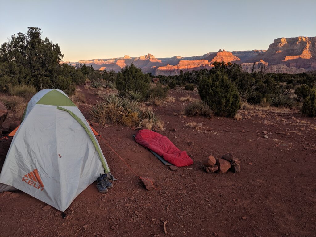
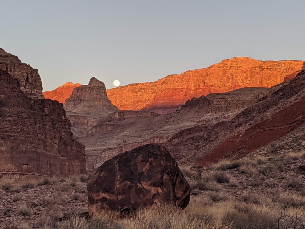
Horseshoe Mesa offers a myriad of attractions. The campsites are located east of the historic masonry structure. Remnants of mining operations, including rusty cans, nails, tools, and structures are protected as archeological resources. Please leave these objects as you found them, where you found them. Backpackers headed deeper into the canyon can choose between three trails that link the rim of Horseshoe Mesa and the Tonto Trail. The northernmost trail that descends the east side of the western arm of the "horseshoe" is the most civilized of these options. Most of the original switchbacks have survived so this route is relatively straightforward, intersecting the Tonto Trail north of Horseshoe Mesa. Hikers can continue along the Tonto about 1.5 miles west to Cottonwood Creek or about 2.2 miles east to Hance Creek. The trail down the west side of the mesa is more demanding, severely washed out in the Tonto Group above the bed of Cottonwood Creek. The path off the east side to Page Spring and Hance Creek is probably the most difficult and exposed. Recent trail work has rendered the hardest place a bit easier, but the potential for a nasty fall exists throughout the Redwall descent. Watch for the spur trail to Page (aka Miners) Spring near the bottom of the Redwall. requires walkers to bend low and traverse a narrow and exposed ledge. There are a couple of ways across the talus to the shoreline at Hance Rapids and the foot of the New Hance Trail.
From: $1,350.00
Select your tour dates below and schedule your next adventure!
Backpacking
Level 3
3 Days
Starting at $1350